Hi,
I'm doing research on military operations and movements of German troops in Italy (Cecina-Castellina Marittima-Livorno zone) during the allied offensive on July 1944. (Rome-Arno Campaign)
The 16th SS Panzergrenadier Division Reichsführer SS and the 19th Luftwaffe Field Division were the divisions in this area.
I found some geographic references in some German battle reports (Tagesmeldung) but do not understand their origin. For example: "1 km S 9226", 3km NW 7431 or "im Raum S 5025 etc ..
What is the meaning of the four digits? How can I locate these points?
Thank you for your help.
German coordinates in Italy
Re: German coordinates in Italy
Reports should indicate which map was used, at least a scale. Numbers point to grid on a map.
Can you provide a location for a known town/village? This way we can work out which map to use.
Re: German coordinates in Italy
Unfortunately in these reports the scale does not appear. I think it's a map 1: 100,000 but I'm not sure. These reports talks about the fightings during July 1944 that led to the liberation of Livorno (very important harbour in Italy) on July 19th 1944. Have you any advice for me to find the used map?

Re: German coordinates in Italy
I suspect both sides used the Italian maps as their base, and with it their grid projections. Otherwise life could become complicated.
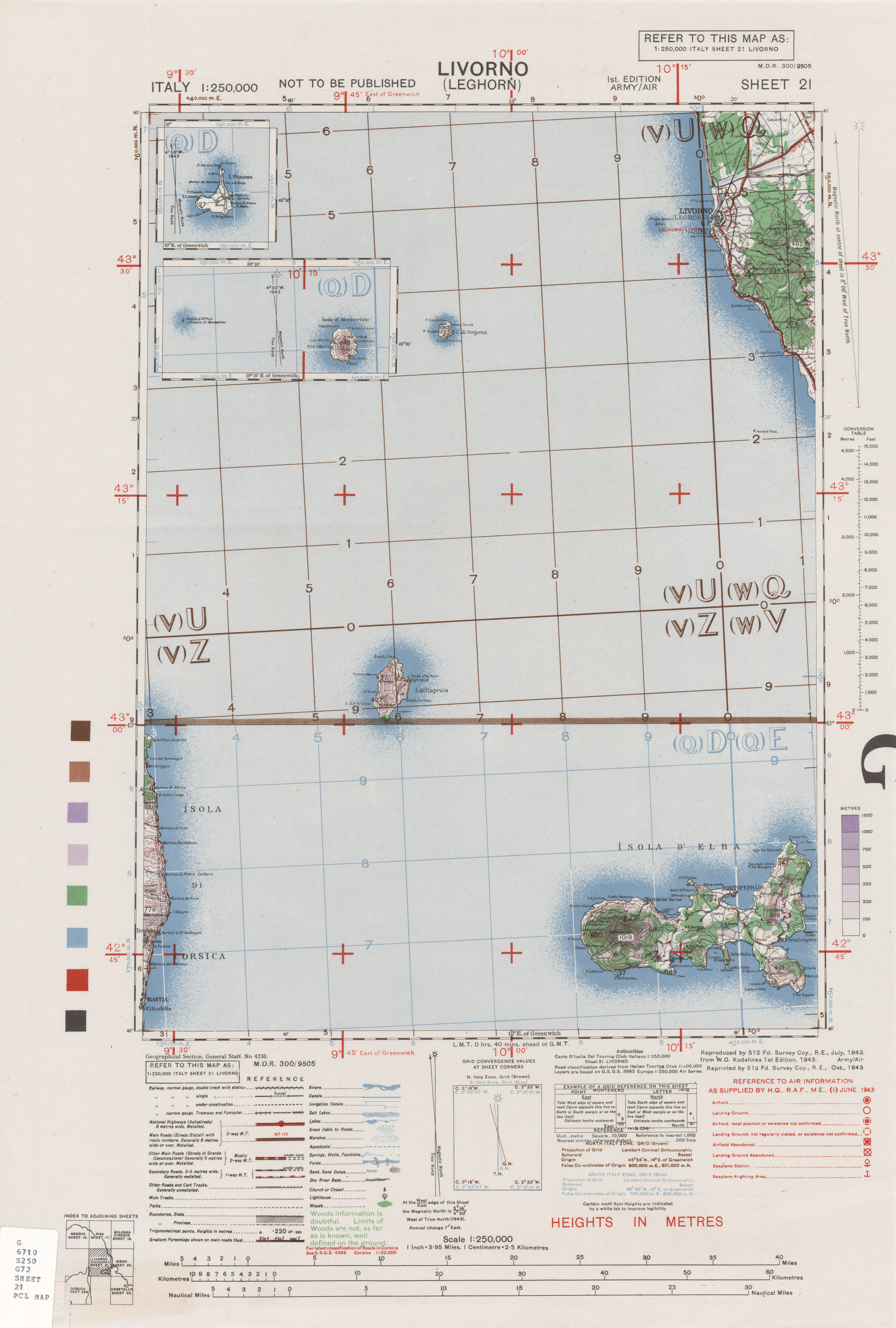
Here are 1:250,000 maps for Livorno and Siena which might cover the battlefield you are looking for.
http://www.lib.utexas.edu/maps/ams/ital ... 1-1943.jpg
http://www.lib.utexas.edu/maps/ams/ital ... 2-1943.jpg
You may need tom check to see if German maps used the same grids.
There is a Northern Italian and Southern italian grid
.
Re: German coordinates in Italy
Grid numbers are not unique. The same number may appear on different maps. That's why I asked if you can find in the reports any named known location (like village or town and corresponding grid number). Otherwise it's all guessing.
In the area of interest first two digits are eastings, next two northings.
Eg. from your first post - 7431 points to area 6km south of Grosseto, which is around 106km from Livorno, on German 1:100000 Piombino map.
5025 is in the middle of the Tyrrhenian Sea on the same map, but appears on 1:100000 Florenz West map, east of Livorno.
If this does not have much sense, then 1:100000 maps were not used.
Re: German coordinates in Italy
Err.....GregSingh wrote:Grid numbers are not unique. The same number may appear on different maps. That's why I asked if you can find in the reports any named known location (like village or town and corresponding grid number). Otherwise it's all guessing.
In the area of interest first two digits are eastings, next two northings.
Eg. from your first post - 7431 points to area 6km south of Grosseto, which is around 106km from Livorno, on German 1:100000 Piombino map.
5025 is in the middle of the Tyrrhenian Sea on the same map, but appears on 1:100000 Florenz West map, east of Livorno.
If this does not have much sense, then 1:100000 maps were not used.
The grid system is the same regardless of the scale of the map!
The numbers do repeat within blocks 100km x 100km which are prefixed by two letters. These are often left off from grid references reported in diaries etc as they can be deduced by common sense. It should be possible to work out where the unit is within the nearest 100 km! (Though I have known a recce officer to make a similar mistake on a long move ,...)
Re: German coordinates in Italy
Yes, but we don't have prefixes from the report, only last two digits. That's what I meant, without prefixes grid numbers are not unique.Err.....
The grid system is the same regardless of the scale of the map!
And the prefix is numeral, eg. coordinates for Livorno look like this: 2606-4824 on 1:100000 German Livorno map. But the report would have 0624 only, as you mentioned.
I had a look at coordinates from the first post and they are not all on on the same, particular 1:100000 map....but they fit on 1:300000 one.
Re: German coordinates in Italy
How did you figure out that they worked with a 1:300000 ? Still learning about maps so would be great to knowGregSingh wrote:Yes, but we don't have prefixes from the report, only last two digits. That's what I meant, without prefixes grid numbers are not unique.Err.....
The grid system is the same regardless of the scale of the map!
And the prefix is numeral, eg. coordinates for Livorno look like this: 2606-4824 on 1:100000 German Livorno map. But the report would have 0624 only, as you mentioned.
I had a look at coordinates from the first post and they are not all on on the same, particular 1:100000 map....but they fit on 1:300000 one.
Testa spana in dagens casino med schysta bonusar och casino spel.
Re: German coordinates in Italy
I would need to see the report itself. A report at a sufficiently high level, say, at army group level, may cover an area that can only be shown on a 1:300,000 map.GregSingh wrote:Yes, but we don't have prefixes from the report, only last two digits. That's what I meant, without prefixes grid numbers are not unique.Err.....
The grid system is the same regardless of the scale of the map!
And the prefix is numeral, eg. coordinates for Livorno look like this: 2606-4824 on 1:100000 German Livorno map. But the report would have 0624 only, as you mentioned.
I had a look at coordinates from the first post and they are not all on on the same, particular 1:100000 map....but they fit on 1:300000 one.
Re: German coordinates in Italy
Hi guys,
I was re-reading the reports and I think I've identified two villages. Rosignano Marittimo should be 7431 and Castellina Marittima 5026. Might be correct? Which scale was used?
The US troops used 1:50,000 maps and I have these maps, but for Germans I have problems to find their maps.
I was re-reading the reports and I think I've identified two villages. Rosignano Marittimo should be 7431 and Castellina Marittima 5026. Might be correct? Which scale was used?
The US troops used 1:50,000 maps and I have these maps, but for Germans I have problems to find their maps.
Re: German coordinates in Italy
Puzzling.
Both villages are on 1:100000 German 1943 map Volterra, but grid numbers are: for Castellina Marittima - 2709, for Rosignano Marittimo - 1907.
So it seems they used totally different system in reports.
Both villages are on 1:100000 German 1943 map Volterra, but grid numbers are: for Castellina Marittima - 2709, for Rosignano Marittimo - 1907.
So it seems they used totally different system in reports.
Re: German coordinates in Italy
Have you this map? (1:100,000 Volterra)
Did Germans use 1:50,000 or 1:25,000 maps?
Did Germans use 1:50,000 or 1:25,000 maps?
Re: German coordinates in Italy
Italien 1:100 000 Volterra 1943
Try to search here for Italian maps: Istituto Geografico Militare, Ricerca per Regione: Toscana
Yes they did, but I haven't seen scans of WW2 German maps of Italy in those scales.Did Germans use 1:50,000 or 1:25,000 maps?
Try to search here for Italian maps: Istituto Geografico Militare, Ricerca per Regione: Toscana
Re: German coordinates in Italy
Aha. It seems the Germans used a different grid to the allies. The Germans did use 1:25,000 and 1:50,000 maps. They did not publish as prolifically as the allies. 1:100,000 is good enough for most historic purposes. The Italian 1:50,000 series was abysmally inaccurate.GregSingh wrote:Italien 1:100 000 Volterra 1943
Yes they did, but I haven't seen scans of WW2 German maps of Italy in those scales.Did Germans use 1:50,000 or 1:25,000 maps?
Try to search here for Italian maps: Istituto Geografico Militare, Ricerca per Regione: Toscana
Re: German coordinates in Italy
Thank you GregSingh for the map.
So, is there a solution for this enigma?
So, is there a solution for this enigma?